Yes, that's right! I live on the northern flanks of the Medicine Lake Volcano. It is the largest volcano by volume in the Cascade Range. I read that if you were to drive your car around the volcano at 70 miles per hour, it would take you 2 hours. The Medicine Lake Volcano is a shield volcano, so when it erupts, very fluid basaltic and andesitic lava comes out and flows down the slopes. As rivers of lava flow downhill, they start to cool down. The sides and surface of the rivers cool down first, insulating the hot lava still inside the main channel. Once the inner lava completely drains out of the channel, a lava tube cave is left behind. Lava Beds National Monument has about 700 of these lava tube caves! This is where I now live.
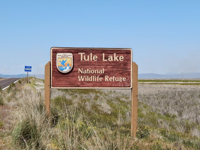 |
| To our north is Tule Lake National Wildlife Refuge with tons of birds |
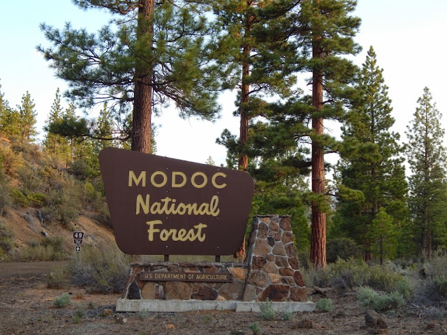 |
and to our south is the Modoc National Forest. There are lots of wild places to explore!
To the southwest is Mt. Shasta. Now Shasta is a different type of volcano. It is a composite, or strato volcano just like Mount St. Helens, Mt. Hood, or Mt. Rainier. If it erupted, it would be a violent eruption, and it would not create lava tube caves.
Now this is kind of a lava tube cave wanabe. I think they call this the dragon's mouth.
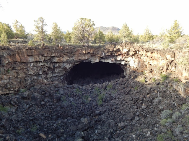 |
This is a typical entrance to a lava tube cave. The entrance forms when part of the roof of the cave collapses, creating a huge trench which exposes the inside of the lava tube. This is Heppe Cave.
Inside Heppe Cave is water!
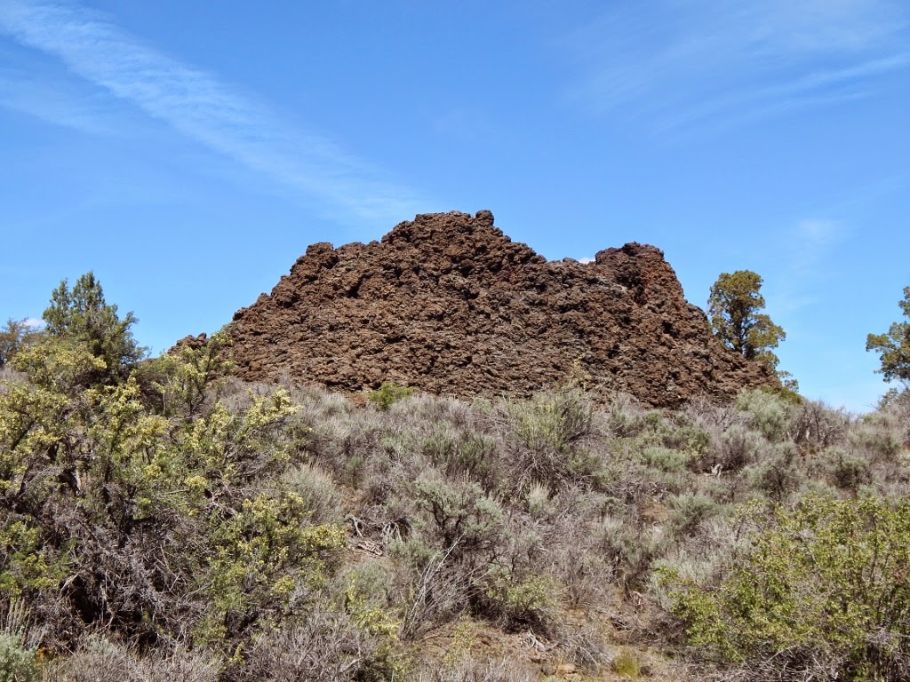
This is a spatter cone, a very common feature here at Lava Beds. Hot lava once erupted out of the top of the spatter cone, and as the liquid lava flew into the air and then landed, it piled up to create these chimney-like spatter cones.
Ooozee lava!
Another common feature of the landscape here is a cinder cone. These form during an eruption that spews out hot chunks of lava that fly high into the air, cool, and then land and pile up around the vent as cinders and ash. The cinders do not stick to each other like at a spatter cone, so they form a cinder cone. This is Schonchin Butte (locals call cinder cones buttes).
The Civilian Conservation Corps built this fire lookout tower on Schonchin Butte in the 1930s.
If you look to the north from the top of Schonchin Butte, you'll see this - Tule Lake and lots of farmland. Tule Lake was once ten times larger than it is today. It was drained in the early 20th century to make more farmland. The Modocs traditionally lived around Tule Lake.
The Modoc Indian War took place here at Lava Beds in 1872-1873. This is the Thomas-Wright battlefield, where, towards the end of the war, some army soldiers were ambushed and killed by Modoc warriors. This battle was the last victory for the Modocs before they surrendered to the army on June 1, 1873. History is everywhere here!
This is where I live currently. It's a nice little apartment in the park. You have to watch out for that heater next to the toilet. When it's on, you can burn your butt. I'm not kidding!
Lots of mule deer visit my apartment in the evenings.
Here's the full moon rising as seen from my picture window. So lovely!


.jpg)
.jpg)
.jpg)
.jpg)
.jpg)
.jpg)
.jpg)